Introduction
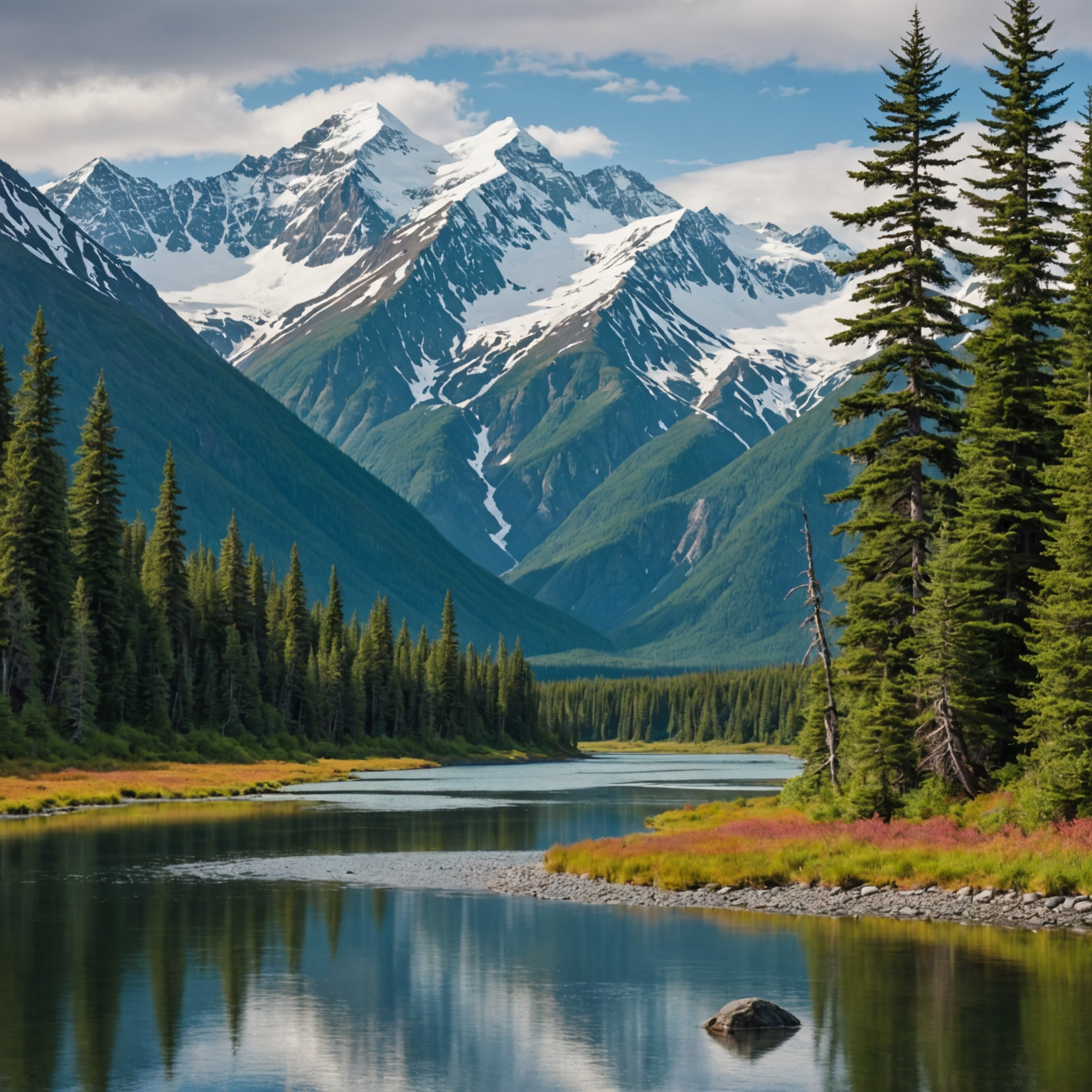
Nestled in the heart of the Talkeetna Mountains, Hatcher Pass is a scenic wonderland of rugged peaks, lush alpine meadows, and historic sites. Spanning approximately 300,000 acres, this Alaskan gem offers endless opportunities for outdoor adventures—from hiking and skiing to exploring remnants of the gold rush era. To make the most of your visit, a detailed Hatcher Pass AK map is indispensable for navigating its diverse terrain and uncovering its hidden treasures. This guide will walk you through everything you need to know about the area, ensuring your trip is as smooth and enjoyable as possible.
Understanding Hatcher Pass
Hatcher Pass is located approximately 55 miles north of Anchorage and is easily accessible via the Glenn Highway. The pass itself is a high mountain pass that offers stunning views and a variety of outdoor activities. The area is named after Robert Hatcher, a prospector who discovered gold in the region in the early 1900s. This discovery sparked the development of several mines, the most famous being the Independence Mine, which is now a historical park.
Key Attractions in Hatcher Pass
Independence Mine State Historical Park
This park is a must-visit for history buffs and nature lovers alike. The park preserves the remnants of the Independence Mine, providing a glimpse into the gold rush era. There are guided tours available, and the park is surrounded by hiking trails offering breathtaking views of the surrounding mountains.
Hiking Trails
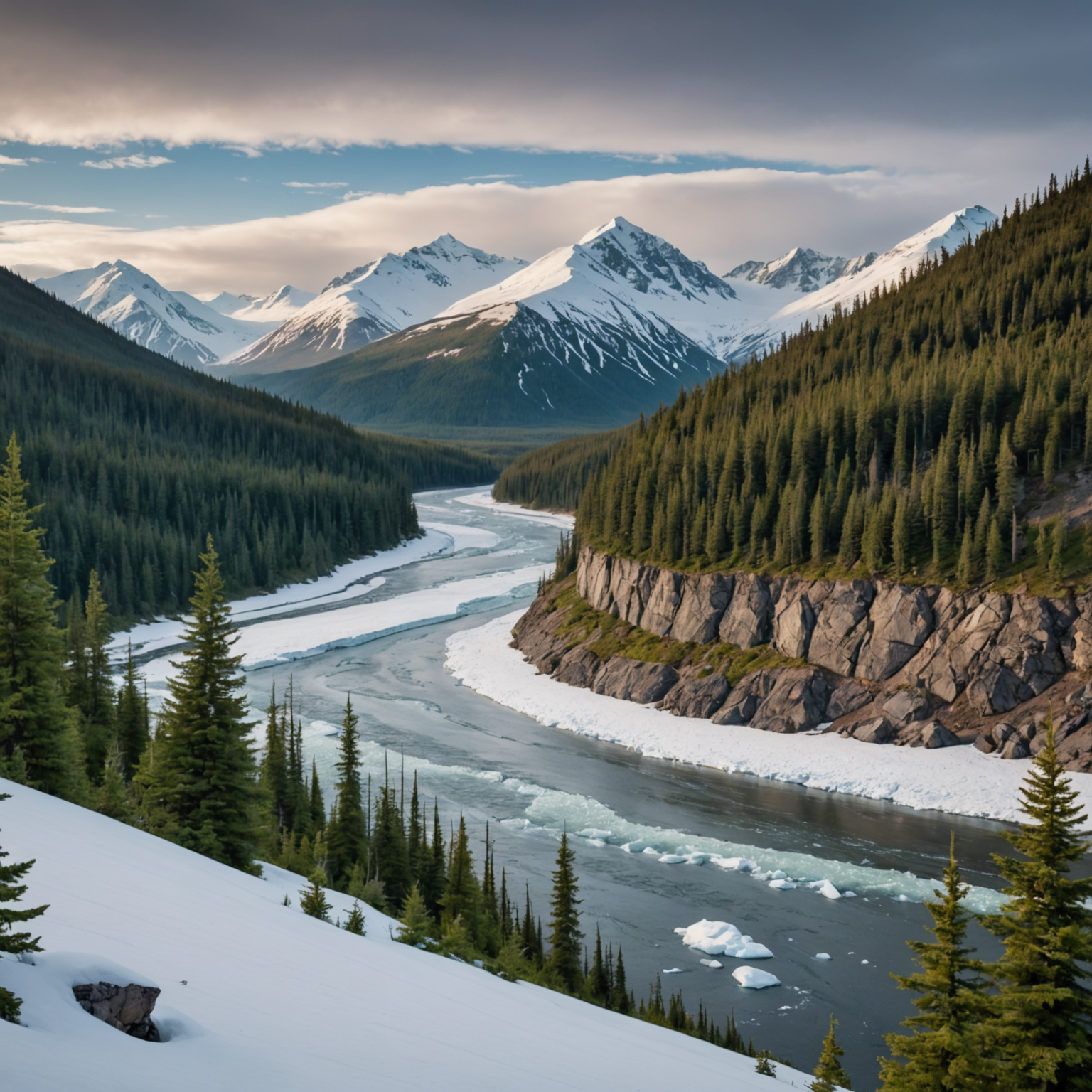
Hatcher Pass boasts a variety of trails suitable for all skill levels. Popular trails include the Gold Mint Trail, which follows a glacial river, and the Reed Lakes Trail, which leads to stunning alpine lakes. For a comprehensive list of trails and difficulty ratings, visiting sites like Alaska.org can be incredibly helpful.
Skiing and Snowboarding
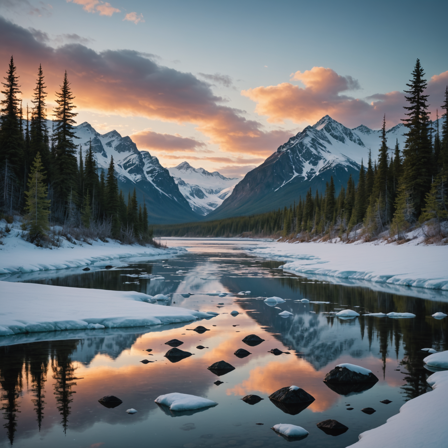
In winter, the area transforms into a snowy paradise perfect for backcountry skiing and snowboarding. The terrain is varied, but it’s crucial to check avalanche conditions before heading out. Reliable resources such as the Hatcher Pass Avalanche Center provide current avalanche forecasts and safety tips.
Navigating with a Hatcher Pass AK Map
A detailed map is your best friend when exploring Hatcher Pass. The map not only helps you find your way but also highlights the various points of interest, hiking trails, and safety precautions necessary for outdoor adventures.
Features to Look for in a Map
- Trailheads and Paths: Ensure the map includes well-marked trails with difficulty levels and estimated hiking times.
- Topographical Details: Look for contour lines and elevation markers to help navigate the mountainous terrain.
- Safety Information: Maps should indicate areas prone to avalanches and other natural hazards.
- Nearby Amenities: Information on restrooms, picnic areas, and parking can be incredibly useful for day trips.
Where to Obtain Maps
Maps of Hatcher Pass can be obtained from several sources:
- Visitor Centers: The Mat-Su Visitor Center provides free maps and brochures.
- Online Resources: Websites like Travel Alaska offer downloadable maps and travel guides.
- Local Shops: Outdoor outfitters in towns like Palmer and Wasilla often sell detailed topographical maps.
Best Times to Visit Hatcher Pass
The best time to visit Hatcher Pass depends largely on the activities you’re interested in. Summer months (June to August) offer the best conditions for hiking and exploring historical sites, while winter (December to March) is ideal for skiing and snowboarding. Always check the weather forecast on reliable sites like the National Weather Service before planning your visit.
Conclusion
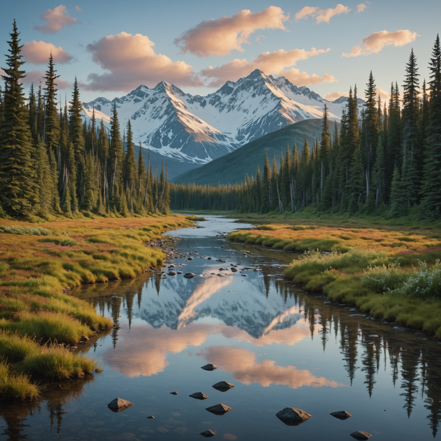
Hatcher Pass is a captivating destination that offers a mix of history, adventure, and natural beauty. Whether you’re there to hike, ski, or simply take in the breathtaking scenery, a reliable Hatcher Pass AK map will ensure you make the most of your trip. With careful planning and the right resources, your Alaskan adventure will be unforgettable.
FAQ
What is the best way to access Hatcher Pass?
Hatcher Pass can be accessed via the Glenn Highway from Anchorage, followed by a scenic drive along the Hatcher Pass Road.
Are there any guided tours available in Hatcher Pass?
Yes, there are several guided tours available, especially at the Independence Mine State Historical Park. For a unique experience, consider a dog sled adventure tour in winter.
Is camping allowed in Hatcher Pass?
Camping is permitted in designated areas. Check with the Department of Natural Resources for regulations and permits.
What should I pack for a trip to Hatcher Pass?
Pack layers of clothing, waterproof gear, a detailed map, food, water, and a first-aid kit. If you’re planning a winter visit, consider renting a snowmobile helmet.
Can I see the Northern Lights in Hatcher Pass?
Yes, Hatcher Pass is a great location for viewing the Aurora Borealis. Stay at an Aurora lodge for the best experience.
What wildlife can I expect to see in Hatcher Pass?
Wildlife in Hatcher Pass includes moose, bears, and a variety of bird species. For safety tips, refer to the Alaska Department of Fish and Game.
Are there any safety concerns I should be aware of?
Avalanche danger is a significant concern during winter months. Always check the Hatcher Pass Avalanche Center for current conditions and safety advice.